On Wednesday, Dec. 28 Avalanche Canada issued a Special Public Avalanche Warning (SPAW) for Interior B.C.
The Kimberley Bulletin reached out to avalanche forecaster Simon Horton for more information about the SPAW and what the organization expects to happen to conditions over the weekend.
“There’s been pretty widespread avalanche activity observed by professionals over the last few days, including the Lizard Range, the West Kootenays and through the Purcells,” Horton said.
“We’re coming off a pretty active period of avalanches and we saw high danger ratings across the last few days because of that and now that we’re coming out of that really dramatic weather, the danger rating is going down, but we’re concerned that although the weather’s improving, people could be caught off guard by this tricky snowpack and there’s still lingering dangers there.”
READ MORE: Backcountry enthusiasts warned of avalanche risks in B.C. Interior mountains
The tricky snowpack he speaks of is the result of the recent warm, wet dump of snow falling on a very weak snowpack formed by the early winter’s very cold, dry stretch.
This “perfect recipe for heightened conditions” has created a very weak structure that will take a long time to heal, Horton explained, and will have potential for human triggering for some time.
The main message Avalanche Canada is trying to get across is that the current conditions are very difficult to navigate.
“Advanced-level training is needed to identify specific trigger spots, so generally just being more conservative with your terrain choices is a good choice right now,” Horton explained. “That would be the things like lower angle terrain, densely forested trees with mature timber and being careful travelling under large slopes overhead.”
Looking ahead to the weekend, Horton said the forecasted weather doesn’t look particularly impactful in terms of avalanche conditions, with likely fairly cool temperatures and light snowfall, so the main concern is is the snowpack structure that’s already on the ground with weak, deeper layers.
“It hasn’t been that long since it’s been heavily loaded with this past storm, so we’re just kind of giving it a week or so to give it time to settle and then maybe we can have a better understanding of conditions after the storm too, as more observers share their reports.”
Avalanche professionals are out in the field, Horton added, to get a better sense of where this problem is going to last longer.
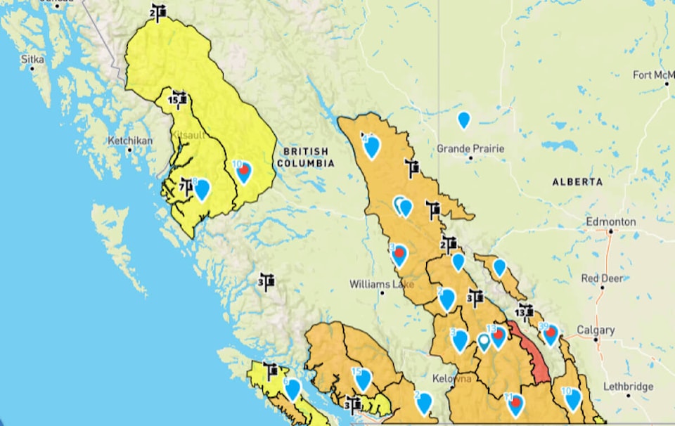
He explained that with the SPAW Avalanche Canada issued Wednesday, the main areas highlighted are the Columbia Mountains and Northern Purcells north of Nelson and Kimberley.
While the differences aren’t currently that significant between these areas and down south, Horton said Avalanche Canada is more concerned about human-triggered avalanches lingering longer in those areas further north.
“That being said right now, the actual danger rating and forecast are pretty similar in these areas as of today and in these areas further south,” Horton said. “It’s definitely worth checking the latest forecasts to see whether conditions are improving.”
You can find up-to-date conditions on avalanche.ca